 |
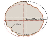
Current Datums and Coordinate System 1. Provisional South American Datum 1956 (PSAD56). PSAD56 is a geodetic datum based on the International 1924 (Hayford 1924) Ellipsoid. It is used in Guyana for topographic and cadastral mapping. The coordinate system associated with this datum is the Universal Transverse Mercator (UTM) Grid, Zones 20N and 21N.
| |
 |
Geodetic Network Primary Controls The Primary Controls of PSAD56 .are thirty-one (31) Aerodist Stations established during the period 1967-1968. Five of these stations are identical with Hiran Stations established previously as part of a South America Trilateration control survey of 1963. (Singh, undated).
GPS
| .
| Series | Description | |
|---|---|---|
| (1: 62,500 series). |
1942. Covers coastal / near inland regions. 12 sheets. US military. Sheets not available to GuyNode | |
. |
1943 (1: 125,000 series). Coastal / near inland regions. Produced by the British Directorate of Overseas Surveys (DOS) Click here to access topographic sheets in this series. |
|
|
1950s/1960s (1: 50,000 series). Sheets for one-sixth of country. Published by the British DOS. Download entire sheetset from McGill Library, Canada |
(pdf) |
 | 1959/1960s (1: 500,000 series). Country-wide Coverage. Produced by the British Directorate of Overseas Surveys (DOS) |
|
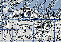
| 1970s (1: 2,500 series) | Georgetown and other settlements. Published by the British Directorate of Overseas Surveys (DOS). Sheets not available to GuyNode | |
| 1976-1987 (1: 5,000 series) | G/town, New Amsterdam and Essequibo coast. 120 Sheets. (DOS 140M). Sheets not available to GuyNode. | |
 |
1981. 1:50,000 series. Near Country-wide coverage. Free sheets not available. Purchases can be made from East View Geospatial |
|
| 1987-1990 (1: 50,000 series) | Coastal plain. 44 sheets. British Directorate of Overseas Surveys (DOS). | |
| 1964-1987 (1: 500,000 series) | 10 sheets. Complete coverage. Soviet military. Sheets not available to GuyNode | |
| 1966-1990 (1: 1,000,000 series) | 5 sheets. Complete coverage. Soviet military. Sheets not available to GuyNode | |
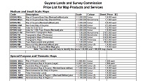 |
Topographic paper and digital maps are available for purchase from Guyana Lands and Surveys Commission. Digital topographic maps can also be bought from East View Geospatial. |
|
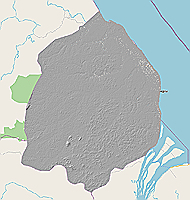
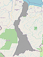
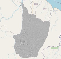
Region 1, SRTM 30m Elevation Data SRTM digital elevation model clipped to the extent of Region 1. Source: 30-Meter SRTM Tile Downloader |
(tif) |
|
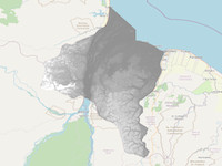
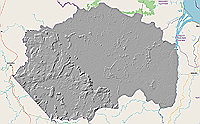
Region 2, SRTM 30m Elevation Data SRTM digital elevation model clipped to the extent of Region 2. Source: 30-Meter SRTM Tile Downloader |
|
|
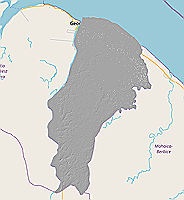
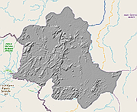
Region 3, SRTM 30m Elevation Data SRTM digital elevation model clipped to the extent of Region 3. Source: 30-Meter SRTM Tile Downloader |
|
|
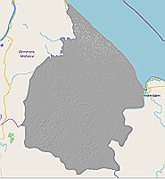
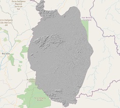
Region 4, SRTM 30m Elevation Data SRTM digital elevation model clipped to the extent of Region 4. Source: 30-Meter SRTM Tile Downloader |
|
|
Region 5, SRTM 30m Elevation Data SRTM digital elevation model clipped to the extent of Region 5. Source: 30-Meter SRTM Tile Downloader |
|
|
Region 6, SRTM 30m Elevation Data SRTM digital elevation model clipped to the extent of Region 6 Source: 30-Meter SRTM Tile Downloader |
|
|
Region 7, SRTM 30m Elevation Data SRTM digital elevation model clipped to the extent of Region 7. Source: 30-Meter SRTM Tile Downloader |
|
|
Region 8, SRTM 30m Elevation Data SRTM digital elevation model clipped to the extent of Region 8. Source: 30-Meter SRTM Tile Downloader |
|
|
Region 9, SRTM 30m Elevation Data SRTM digital elevation model clipped to the extent of Region 9. Source: 30-Meter SRTM Tile Downloader |
|
|
Region 10, SRTM 30m Elevation Data SRTM digital elevation model clipped to the extent of Region 10. Source: 30-Meter SRTM Tile Downloader |
|
 |
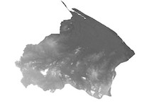
Aster DEM (Version 3) Advanced Spaceborne Thermal Emission and Reflection Radiometer (ASTER). Satellite-based collaboration between the USA and Japan that provides freely available global digital elevation dataset (GDEM) at a spatial resolution of approximately 30 meters. At a later date, GuyNode will download and clip ASTER DEMs by RDCs for Guyana. In the meantime, download from Earth Explorer Source: ASTER |
|
 |
ALOS World 3D This dataset is a global digital surface model (DSM) with horizontal resolution of approximately 30 meters. |
|
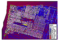 |
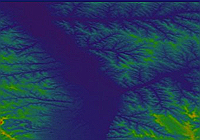
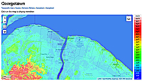
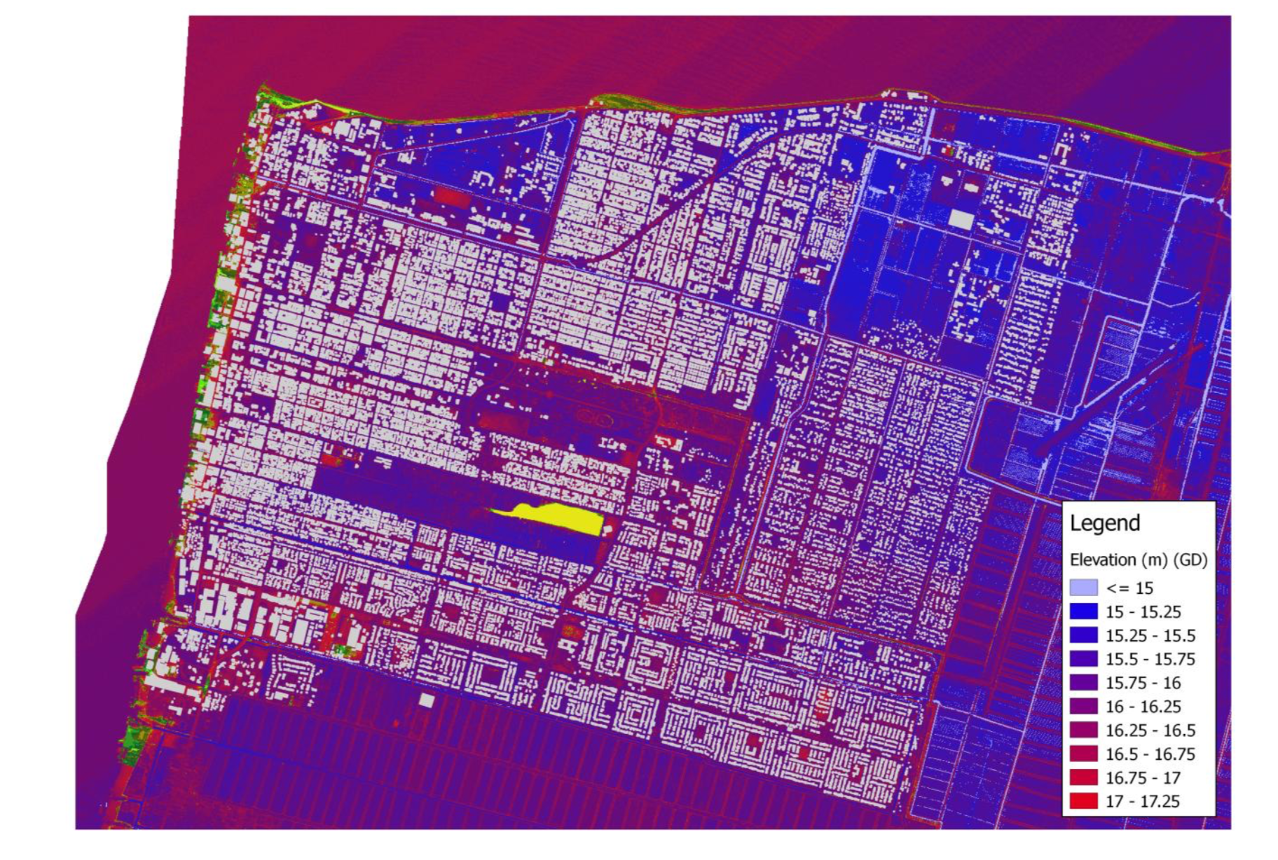
Lidar Elevation Map of Georgetown (jpg). Raw LIDAR data appear not to be publicly available. Source: Final Report - Project, Georgetown |
|
 |
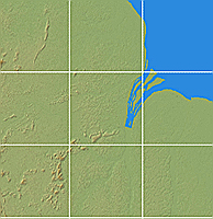
Interactive Elevation Map of Guyana Map is centered on Georgetown, but elevation can be obtained for anywhere in Guyana. Source: https://en-us.topographic-map.com |
|
Earth Explorer Satellite Imagery Global imagery for multiple years and platforms. Data must be downloaded and clipped to study area in Guyana. Source: Earth Explorer. This YouTube video provides instructions on how to download Landsat imagery and display different band combinations using ArcGIS Pro. |

|
Google Earth Engine Access more than more than forty years of historical imagery and scientific datasets, updated and expanded daily. Knowledge of how to work with the JavaScript or Python API is necessary . This YouTube video provides instructions on how to get started with Google Earth Engine. |
|
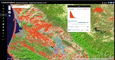
ESRI's Landsat Viewer View Landsat data online using ESRI's Landsat Viewer and Explorer app. You can also generate spectral and temporal profiles and perform various types of image analysis online. Source: Earth Explorer. |
|
|
Multiple Imagery Viewers Global imagery from multiple online imagery viewers. Provides good satellite view of Guyana at various levels of zoom. Source: Satellite Pro. |
|
 |
Popular sites to download free imagery Source: Zoom into our Planet |