 |
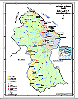
Major Rivers (shp)
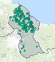
Major rivers in Guyana |
|
 |
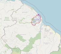
Guyana's Rivers with Names (jpg) Source:Map of British Guiana, 1958. Department of Land and Mines, Georgetown |
|
|
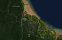
Surface Water Resources Map showing surface water resources in Guyana. Source: US Army Corp of Engineers. See also Water Resource Assessment of Guyana |
|
 |
Major Watersheds Source: |
|
 |
Global Watersheds Tool
Use this tool to delineate watersheds for any river or stream anywhere in Guyana. Simply click on a pour point and the watershed will be be delineated. Also, remember to click on 'Watershed Data Report' to generate a report of the watershed. To get a shapefile of the watershed, you can make a screenshot of the watershed, georeference it, and then digitize watershed Source: https://mghydro.com/watersheds/ |
|
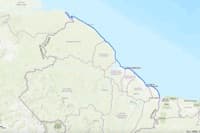 |
Coastline of Guyana (shp)Source: Digitized from ESRI base map. |
(shp) |
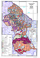 |
Bedrock Geology of Guyana, 1:1000,000 (pdf) | |
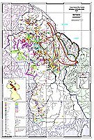 |
Mineral Occurrence, Guyana, 1:1000,000 (pdf) | |
 |
Location of Mines in Guyana (Interactive Map)
Source: Diggings.Com |
|
 |
Mineral Property Map, Guyana (Interactive Map)
|
 |
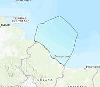
Guyana's Exclusive Economic Zone (200NM). Source: Flanders Marine Institute. |
|
 |
Guyana's Exclusive Economic Zone (200NM) (shp) Source: Digitized by GuyNode from shapefile available at Flanders Marine Institute. Precision not guaranteed. |
|
 |
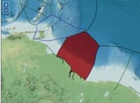
Petroleum Blocks, Guyana (shp)
Interactive map and shapefile of petroleum blocks within Guyana's maritime exclusive economic zone and coastal regions. |
|
 |
Exxon and Tullow's Oil Wells, Guyana (shp)
Interactive map and shapefile of proven oil wells discovered since 2015 by ExxonMobil. |
|
 |
Cross Section of Selected Petroleum Blocks. Cross Section of the Orinduik Petroleum Block and Parts of the Kanuku and Stabroek Blocks. Source: Guyana Chronicle |
|
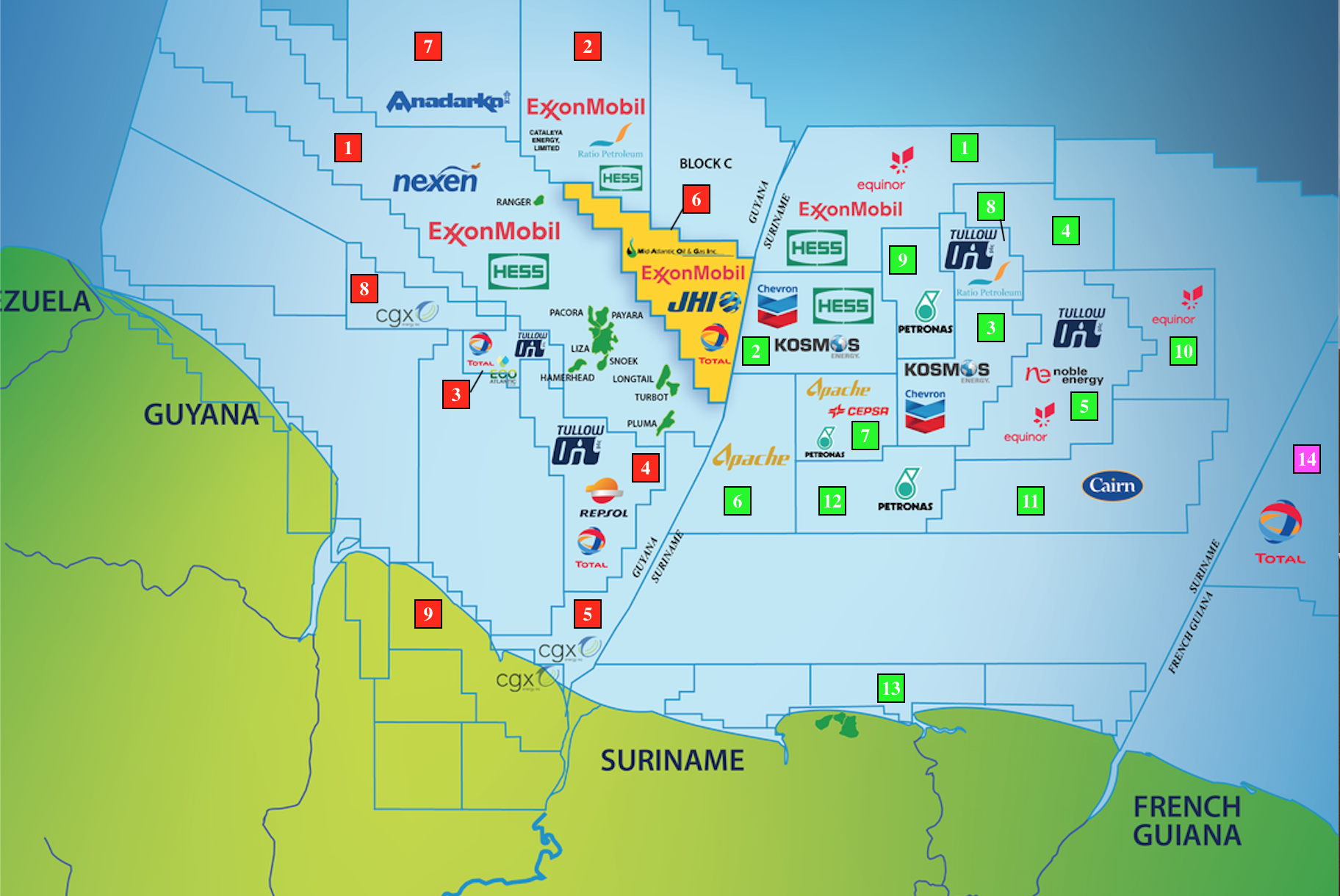 |
Petroleum Blocks, Guyana and Surinam (jpg)
The map shows petroleum blocks and leaseholders of block licenses within Guyana and Surinam's maritime exclusive economic zone and coastal region. |
|
| Overview of Exxon operations in Guyana | |
 |
Daily Oil and Gas Production Statistics, Guyana |
 |
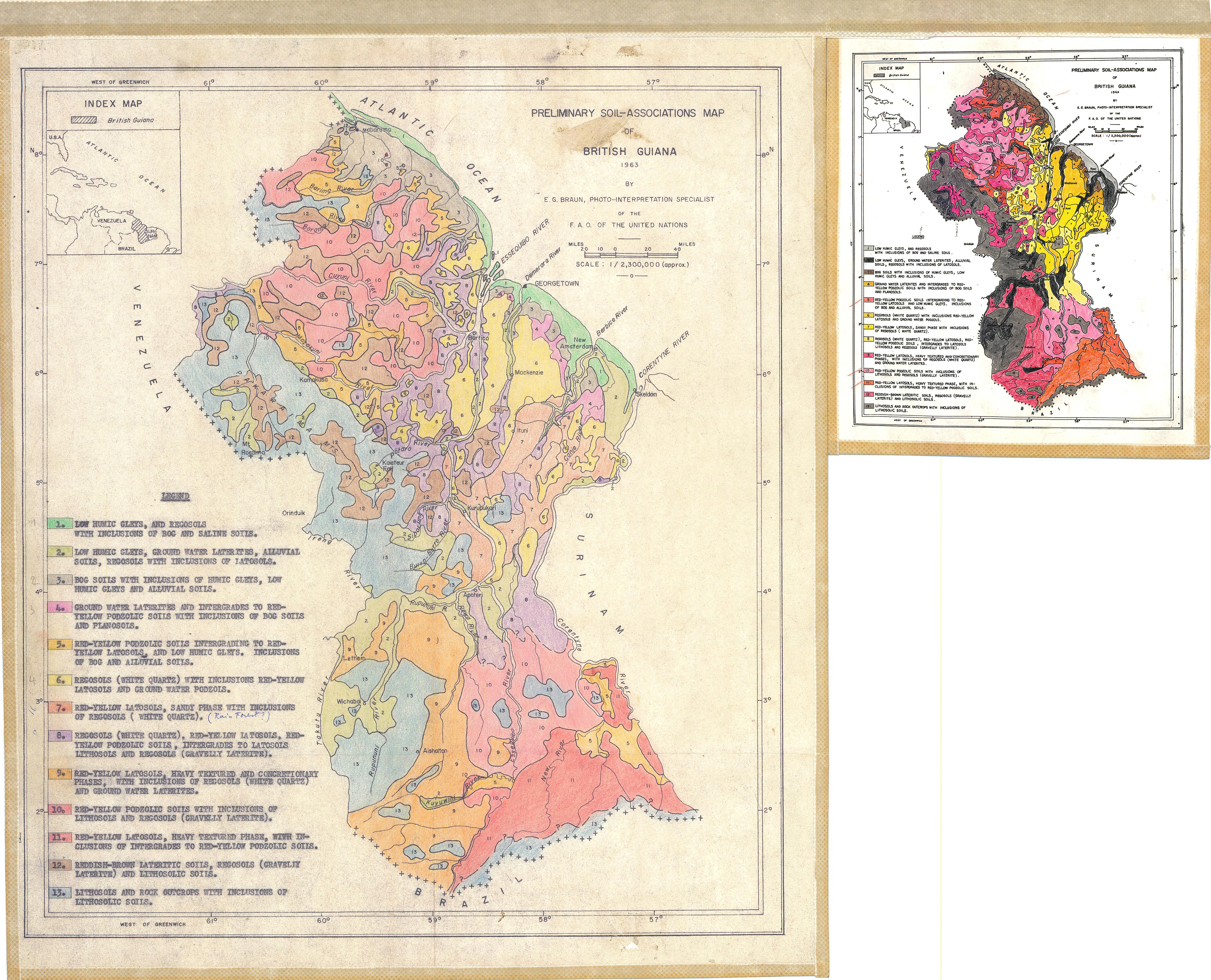
Various Soil Maps of Guyana.
|
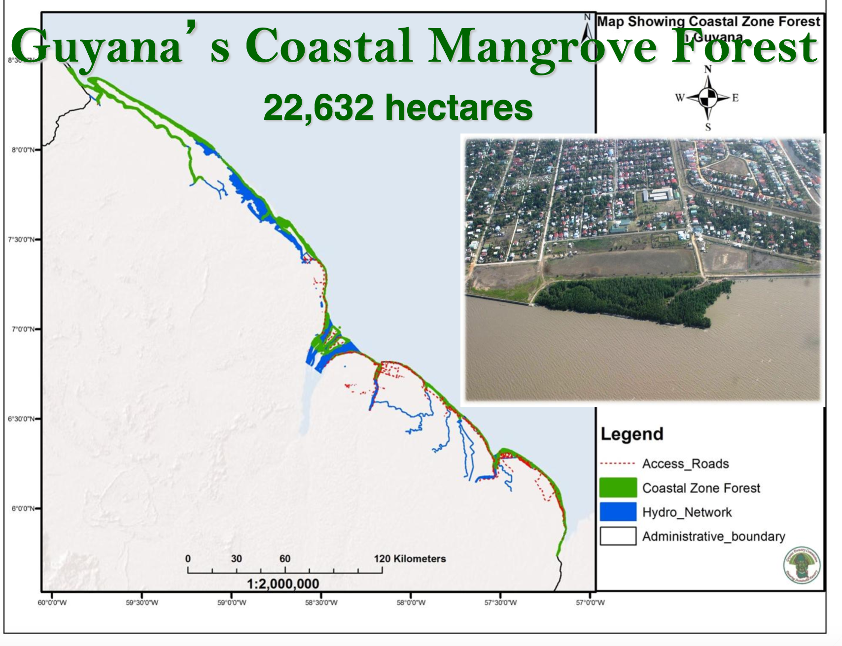 |
Mangrove areas along Guyana's coast (png) Source: Presentation. Coastal Zone Management - Mangrove Restoration Project /MPI, Rudolph Adams, The National Agricultural Research and Extension Institute (NAREI). See page 13 for map. |
|
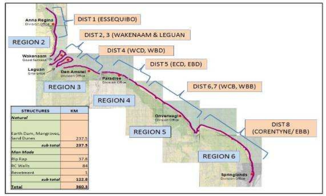 |
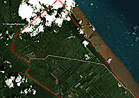
Sea Defense Districts Guyana sea defenses extend for 360 km and consist of natural and human structures. The area is subdivided into several districts for management purposes. Source: Final report. Coastal erosion along the coast of Guiana. Europe Aid Technical Assistance for Capacity Building and Institutional Strengthening of the Sea Defenses. January, 2011. |
|
 |
Coastline Modeling
GIS-based Analysis and Modelling with Empirical and Remotely-Sensed Data on Coastline Advance and Retreat. |
|
 |
Guyana Coastal Database
This is a local and web-based database of open geospatial data and analytical tools to support operational planning in areas such as coastal/marine disaster risk preparation and management, coastal conservation, and climate change planning . |
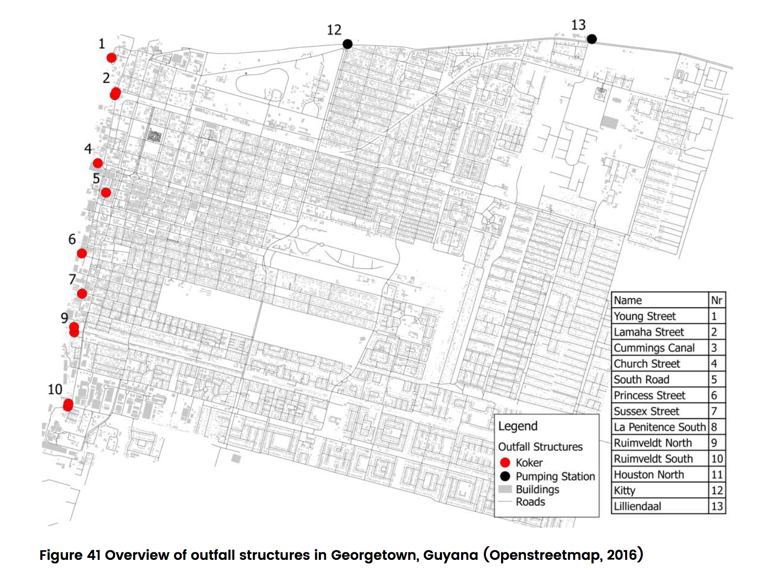 |
Kokers and pumping stations, Georgetown (shp) Source: 'Analysis of Drainage Systems in Georgetown, Guyana, Delft University of Technology, November, 2016.' See pg 48 for map.Additional data source included Google Earth and Bing Maps. |
|
 |
Kokers, Region 4 (shp), Incomplete Source: Various public domain documents including 'Analysis of Drainage Systems in Georgetown', 'Managing Flood Risk in Guyana', ESRI imagery, Google Maps, and Bing Maps. |
|
 |
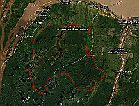
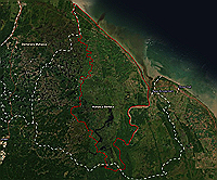
Boeraserie and East Demerara Water Conservancies (shp) | |
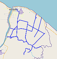 |
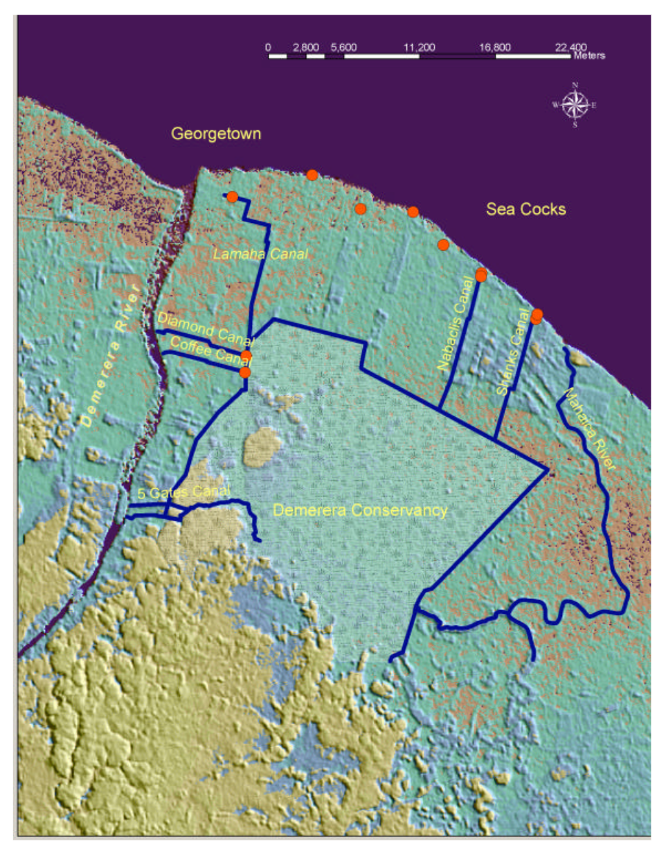
Canals in the East Demerara Conservancy (shp)
Map digitized by GuyNode.com
Source: 'Government of Guyana Task Force for Infrastructure Recovery. Final Report of Special Adviser'. Downloaded July 2020 from this site. See pg 23 for map. Other source material included Google Earth, Open Street Map, and Bing Maps. |
|
 |
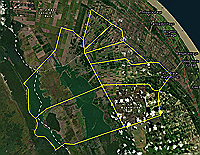
East Demerara Conservancy Canals and Kokers (png) Source: 'Managing Flood Risk in Guyana. The Conservancy Adaptation Project 2008 - 2013. World Bank, Ministry of Agriculture, Guyana'. Downloaded August 2019 from this site. See page 23 for map. Other source material included Google Earth, Open Street Map, and Bing Maps. |
|
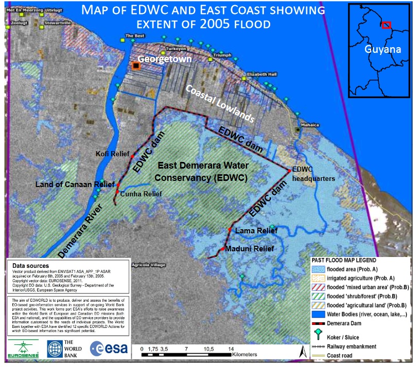 |
Flood Extent, 2005, East Demerara Conservancy (jpg) Source: 'Managing Flood Risk in Guyana. The Conservancy Adaptation Project 2008 - 2013. World Bank, Ministry of Agriculture, Guyana'. Downloaded August 2019 from this site. See page 9 for map. Other source material included Google Earth, Open Street Map, and Bing Maps. |
|
 |
Guyana’s Billion-Dollar National Disaster: The May-June 2021 Floods |
|
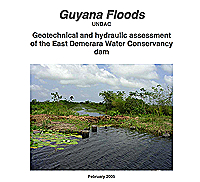 |
Document. Guyana Floods, 2005, (pdf). Geotechnical and hydraulic assessment of the East Coast Demerara Water Conservancy Dam. |
|
|
Guyana Coastal Flood Protection Program Guyana Coastal Flood Protection Program. Inter-American Development Bank. Rehabilitation of the East Demerara and Boerasirie Water Conservancies. Assessment and Plan or Work. Victor M. Ponce, Consultant. 25th July, 2006. |
|
 |
Boundary shapefile of theTapakuma Irrigation Scheme (shp) Digitizing and web map creation by GuyNode
Source: 'Report and Recomendation of the President to the Executive Directors on a Proposed Loan to Guyana for Tapakuma Irrigation Project (English), June 1974'. Downloaded August 2019 from this site. See pg 27 for map. |
|
 |
Boundary, Boeraserise Water Conservancy Digitizing and web map creation by GuyNode Source: 'Government of Guyana Task Force for Infrastructure Recovery. Final Report of Special Adviser'. Downloaded July 2020 from this site. See pg 28 for map. |
|
 |
Mahaica-Mahaicony Irrigation Scheme (shp) | |
 |
Black Bush Polder Irrigation Scheme (shp) Digitizing and web map creation by GuyNode
Source: 'Staff Appraisal Report. The Black Bush Irrigation Project Guyana, May 1978, World Bank'. Downloaded August 2019 from this site. See pg 89 for map. |
|
 |
Major Water Control Initiatives (shp) Additional insights obtained from the following paper: Water Control in Guyana, A. J. Strachan, Geography, Vol. 65, No. 4, 1980, pp. 297-304 |
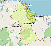 |
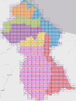
Physiographic Regions (shapefile) | |
 |
Physiographic Regions (pdf) | |
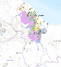 | Guyana Forestry Commission Forest Allocation Map Interactive map showing forest allocations Source: Guyana Forestry Commission |
|
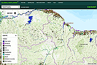 | Wetlands Interactive map of global wetlands Source: Global Wetlands Interactive Map. |
|
|
Protected Areas (shp) | |
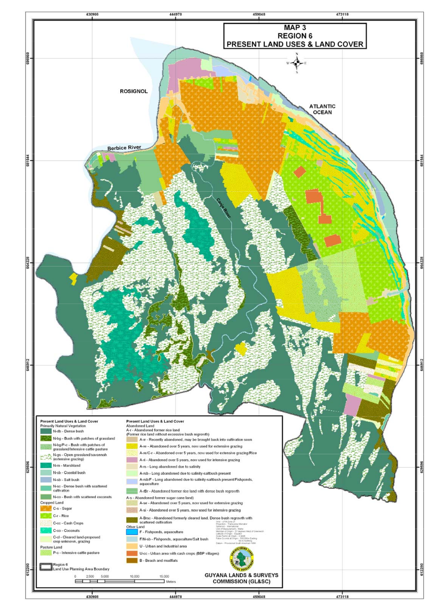
| Land Use (Region 6) | View | |
|
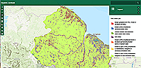
National Land Cover, Interactive Map, Guyana Source: ArcGIS Online |
|
 |
Global Forest Watch, Interactive Map | |
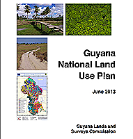 |
Document, National Land Use Plan, 2013 (pdf) | |
 |
Landuse, Region 3 ESRI interactive Web Map. |
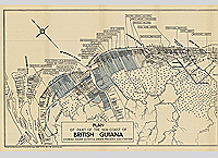 |
Sugar Estates in Guyana, 1949 | |
|
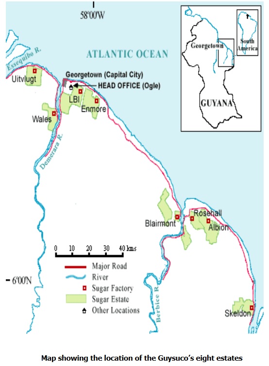
Guysuco Sugar Estates, 2009 | |
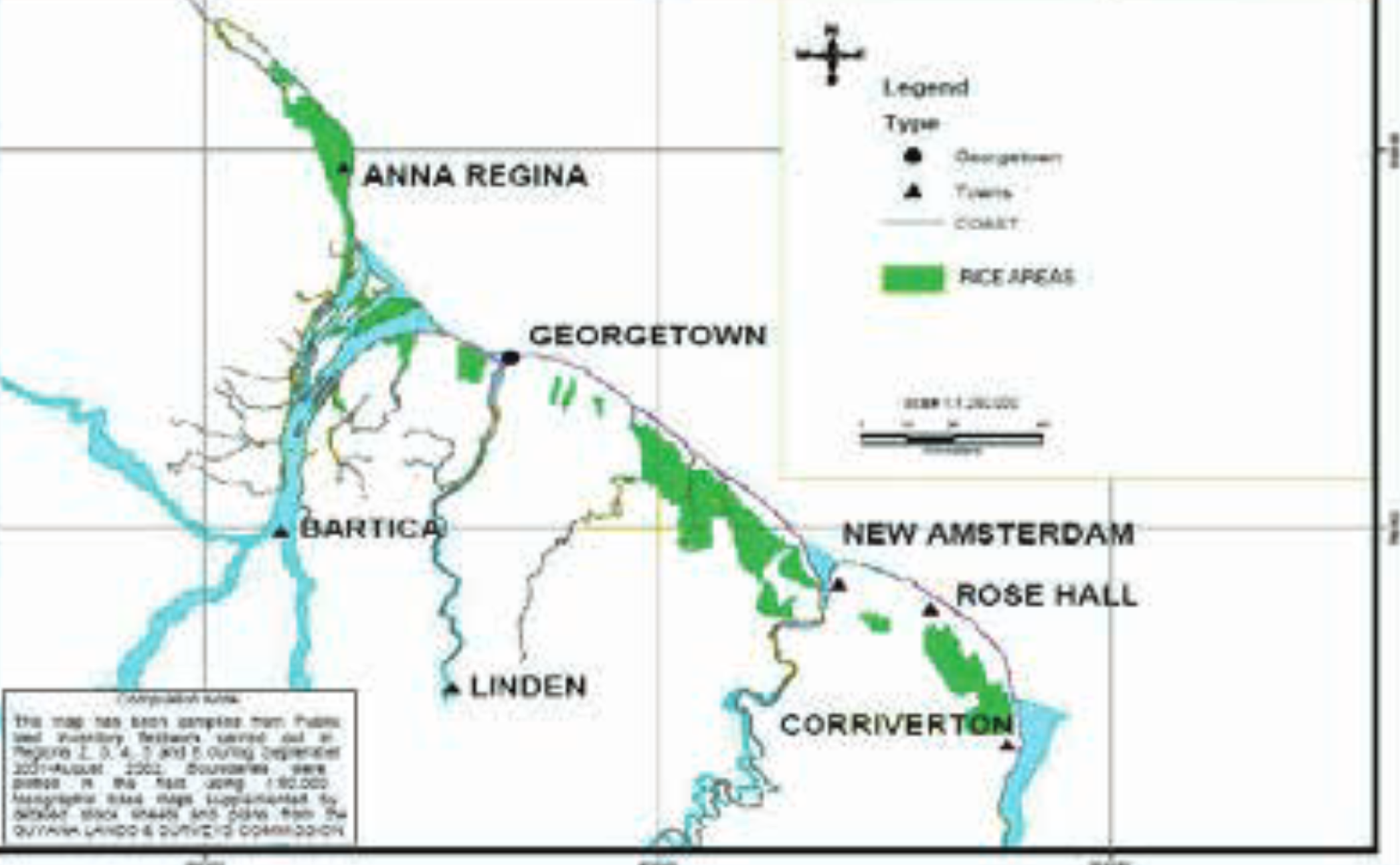 |
Rice Producing Areas, Guyana | |
 |
The Impacts of Climate Change on Rice Production and Small Farmers’ Adaptation: A Case of Guyana. PhD Thesis |

|
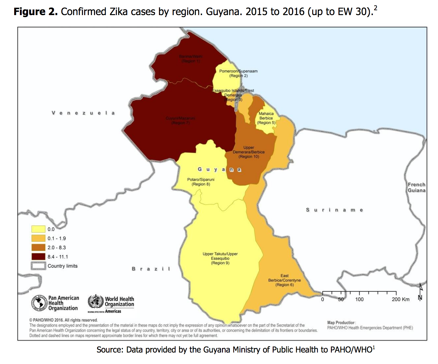
Zika cases by regions, 2015-2016 (png) Source: PAHO |
|
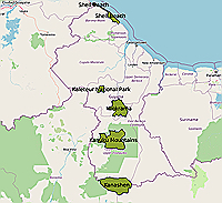
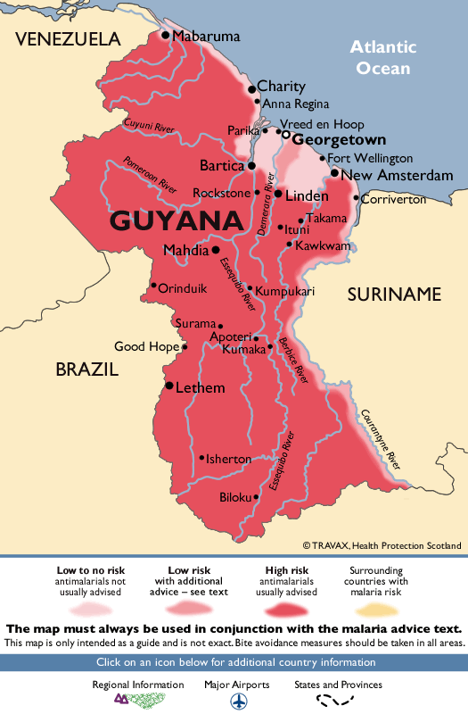
| Malaria Patterns, Guyana (png)
|
View Source: Fit for Travel |
|
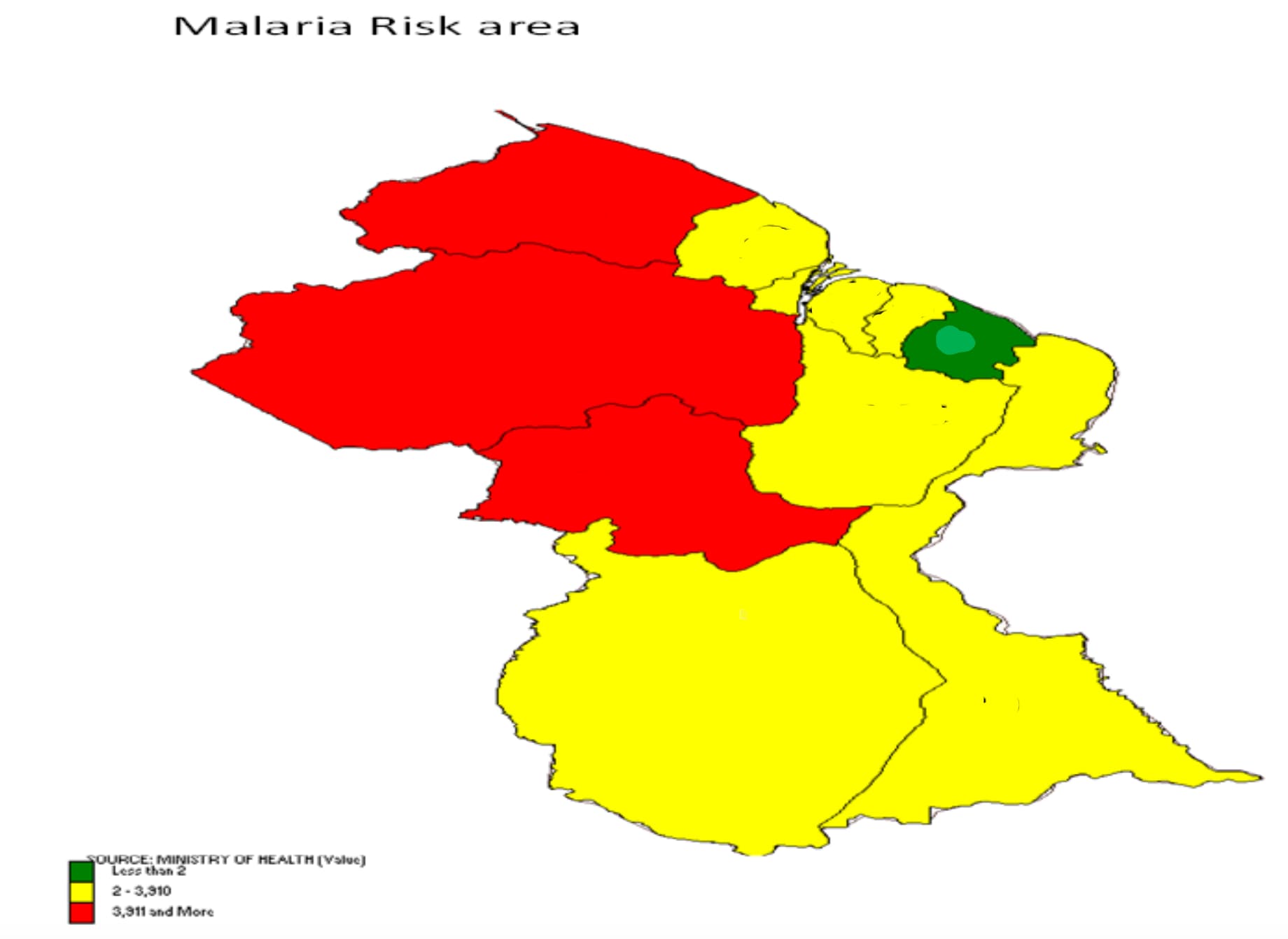
| Malaria Risk Areas, Guyana (pdf) | View Source: PAHO |
|
 |
GuyNode's Covid-19 Dashboard, GuyanaGet a big picture view of the Covid-19 situation in Guyana from GuyNode's dashboard.Data Source: World-O-Meter; Health.gov.gy; Our World in Data, Covid-19 |
|
Microsoft Covid-19 Tracker, GuyanaBing's Covid19 Dashboard. Tracks Covid-19 spread on a daily basis. |
| |
 |
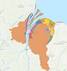
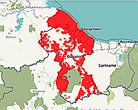
Distribution of Covid-19 Cases, Guyana, May, 2020Cumulative Covid-19 Cases by Regional Democratic Councils as of May 7th, 2020. Region 4 and Region 10 were the regional hot spots.Source: Map created by GuyNode using data from Health.gov.gy |
(shp) |
|
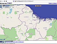
Sea Level Rise (Interactive Map). | |
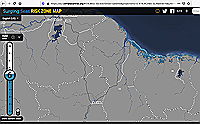 |
Surging Seas Risk Zone Map | |
|
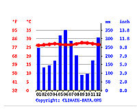
Global Temperature and Precipitation Predictions | |
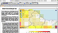 |
Global Drought Forecast Tool | |
| Climate change impacts on water resources in Guyana (document) | View | |
 |
The challenge of climate change adaptation in Guyana (pdf document) |